Bloomingdale Park Hiking Trails
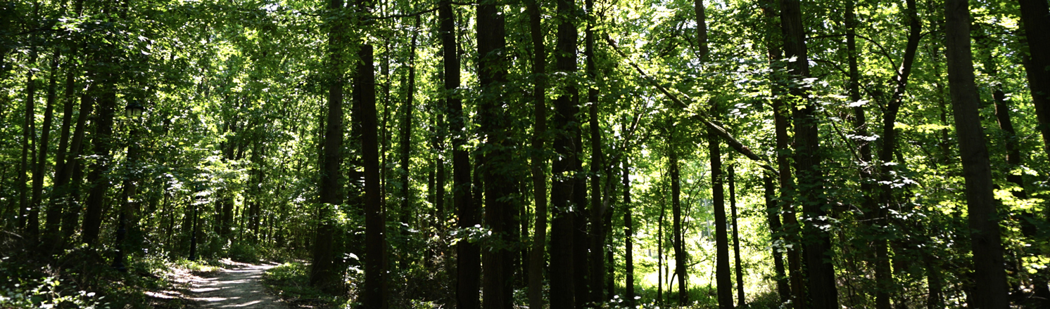
Bloomingdale Park's 138 acres offer opportunities for active recreation as well as over 100 acres of wooded wetlands, streams, and ponds to explore. NYC Parks acquired the property in 1968 as part of an initiative to protect southern Staten Island's natural areas from development. Today, Bloomingdale Park is part of Staten Island's Bluebelt, helping to prevent flooding by diverting runoff into local waterways. The woods of Bloomingdale Park are home to Staten Island's largest population of eastern box turtles (Terrapene carolina carolina), and its ponds and streams are habitat for the eastern red-backed salamander (Plethodon cenereus)and at least three species of frogs. Areas of the park with sandy soil support the pitch pine (Pinus rigida), which is rare for State Island, and the Virginia pine (Pinus virginiana), which is rare throughout the state.
Teal Trail: This accessible trail creates a mile-long loop on paved or tightly packed gravel surfaces around the natural areas in the eastern part Bloomingdale Park. Starting from the northeast corner of the park at the intersection of Lenevar Avenue and Ramona Avenue, go past the playground and restroom facilities, turn left and follow the trail into the forested area. The wide track winds between the woods and the edge of the soccer field. At the corner of the soccer field, turning left bring you into the woods. Here, the trail traces the course of a stream as you walk over 120 feet of boardwalk. Continue to follow the Teal as it loops around on paved paths and you’ll find grassy wetland to your left and below, where green herons are frequently seen. After the trail passes a baseball field, stay left for the Teal Trail continuing on the paved or gravel path to return to the playground.
Lavender Trail: For approximately one (1) mile, the Lavender Trail winds through the forest on the western side of Bloomingdale Park. From the intersection of Maguire Ave and Ramona Ave, the trail begins with a steep descent, then turns left and crosses a seasonal creek to head deeper into the heart of the park. When the trail turns south, follow it as it crosses the hillside and forms a loop that extends nearly the full length of the park. As you walk south, and when you complete the loop, creeks flow below and to the left of the trail.
Interactive Map
![]() Teal Trail
Teal Trail
![]() Lavender Trail
Lavender Trail
![]() Unnamed Official Trail
Unnamed Official Trail
![]() Point of Interest
Point of Interest
Point of Interest
Streamside Boardwalk
As the Teal Trail winds along the banks of a stream, 120 feet of boardwalk allow visitors to come close to the water as they cross over a small tributary. The creek and its tributary are part of Staten Island's Bluebelt, diverting flood waters into their channel and off of local streets. The effects of the flooding are evident in the stream's steeply down cut banks.
View Streamside Boardwalk on the map
Hiking in NYC Parks
Visit our Hiking in NYC Parks page to find more nature trails in parks across New York City.
%7Cutmcsr%3D(direct)%7Cutmcmd%3D(none)%3B%2B__utmv%3D37910333.-%3B)