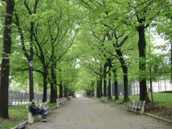
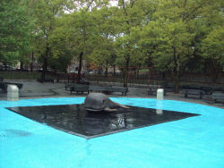
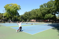
Lincoln Terrace / Arthur S. Somers Park
Eastern Pkwy., E. New York Ave. bet. Rochester Ave. and Portal St.
Brooklyn
Directions via Google Maps
What was here before?
The area was mostly rural and farmland until it was developed in 1865 by Charles S. Brown. Brown purchased a section of farm and meadowland and built 250 frame houses, hoping to lure the working class from lower Manhattan and western sections of Brooklyn to his modestly priced homes. Brown was confident that he wouldn't be able to persuade the upper middle class to move to the area known as "Brownsville" due to its unpleasant location downwind from the foul odors of the marshes and bone-boiling factories near Jamaica Bay.
How did this become a park?
Show Disclaimer
Facilities
Check out your park's Vital Signs
Clean & Safe
Green & Resilient
Empowered & Engaged Users
Share your feedback or learn more about how this park is part of a
Vital Park System


