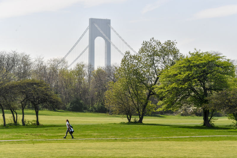
Dyker Beach Park
Dyker Beach Park
What was here before?
A deed at the New York State Capitol Building, partly damaged in a 1911 fire, stated that most of western Long Island, including this site, was purchased from the Canarsie and other tribes in 1639. The deed also granted the tribes the rights to live, farm, hunt, and fish on the land, with protection promised from the Dutch. However, during Kieft’s War (1643-1645), a violent conflict between the Dutch and indigenous tribes over land and resources, many Native Americans began to flee the area. After the English took control, much of the remaining population left the region.
By 1657, the area became part of New Utrecht, one of the six original Dutch towns that later formed the City (now borough) of Brooklyn. Over time, waves of immigrants settled here, including people from Scandinavia in the 19th century, Ireland and Italy in the early 20th century, and China, Italy, and the former Soviet Union in the 1990s.
The area was not developed as a residential neighborhood until the early 20th century, when it became known as Dyker Heights. Developers built blocks of one- and two-family houses, naming the area after the nearby park and beach.
How did this site become a park?
The park was assembled from eight pieces of land over the course of forty years. In 1895 the City of Brooklyn purchased the first parcel from the Dyker Meadow Land Improvement Company for a park. The landscape architecture firm of Olmsted, Olmsted & Eliot planned a 50-acre saltwater lagoon, children’s playgrounds, bathhouses, lawns, and drives along the shore. The Brooklyn Parks Department annual report of 1896 claimed that Dyker would be the “finest seaside park in the world.”
Although a portion of the site was used by the Dyker Meadow Golf Club, development of the remainder proceeded slowly. Bathhouses and roads were erected, and the plans were revised in 1911 by Charles D. Lay, landscape architect of the Parks Department. He proposed decreasing the size of the lagoon to 16 acres and adding several concert groves. In 1918 work began to fill a swampy area of the park. Four additional parcels were acquired between 1924 and 1927 by assignment and condemnation. Another three lots were transferred to Parks in 1934.
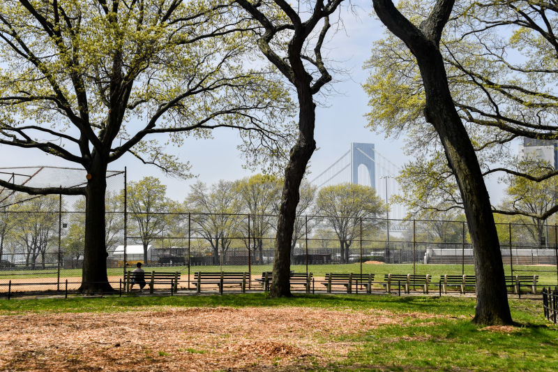
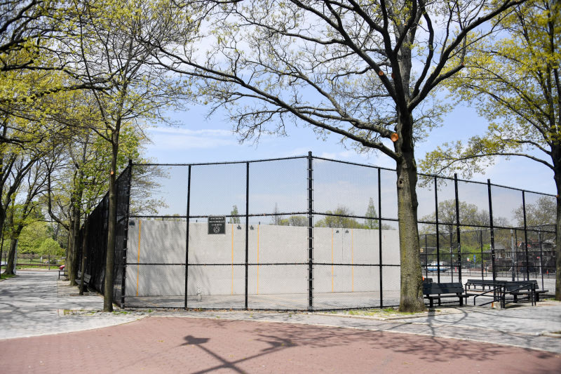
Several sites within Dyker Beach Park are named for local leaders. Kimberly Cassas Walk and Anthony Mosomillo Memorial Courts are named for slain police officers. The southern portion of the property, Ben Vitale Ballfields, is named for a local physical education teacher, and one of the ballfields takes its name from Joe Torregrossa Jr. and John Caiazza, leaders of the St. Bernadette’s Athletic Association. The recreational area in front of the ballfields is named for New York State Assemblyman Dominick L. DiCarlo (1928-1999) who served in the legislation from 1965-1981.
Who is this park named for?
There are two different theories about how the neighborhood and park got their names. One possibility is that the name comes from the Van Dykes, a family who helped divide the land when it was part of the Dutch town of New Utrecht. Alternatively, the name may refer to the dikes that Dutch settlers used to drain and reclaim the marshy land.

Check out your park's Vital Signs
Clean & Safe
Green & Resilient
Empowered & Engaged Users
Share your feedback or learn more about how this park is part of a
Vital Park System![]()


%7Cutmcsr%3D(direct)%7Cutmcmd%3D(none)%3B%2B__utmv%3D47658670.-%3B)